1/1


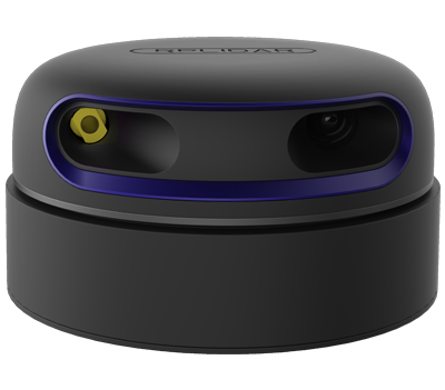
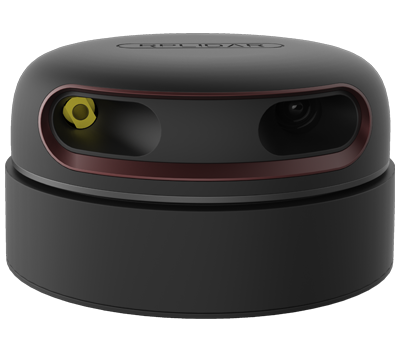
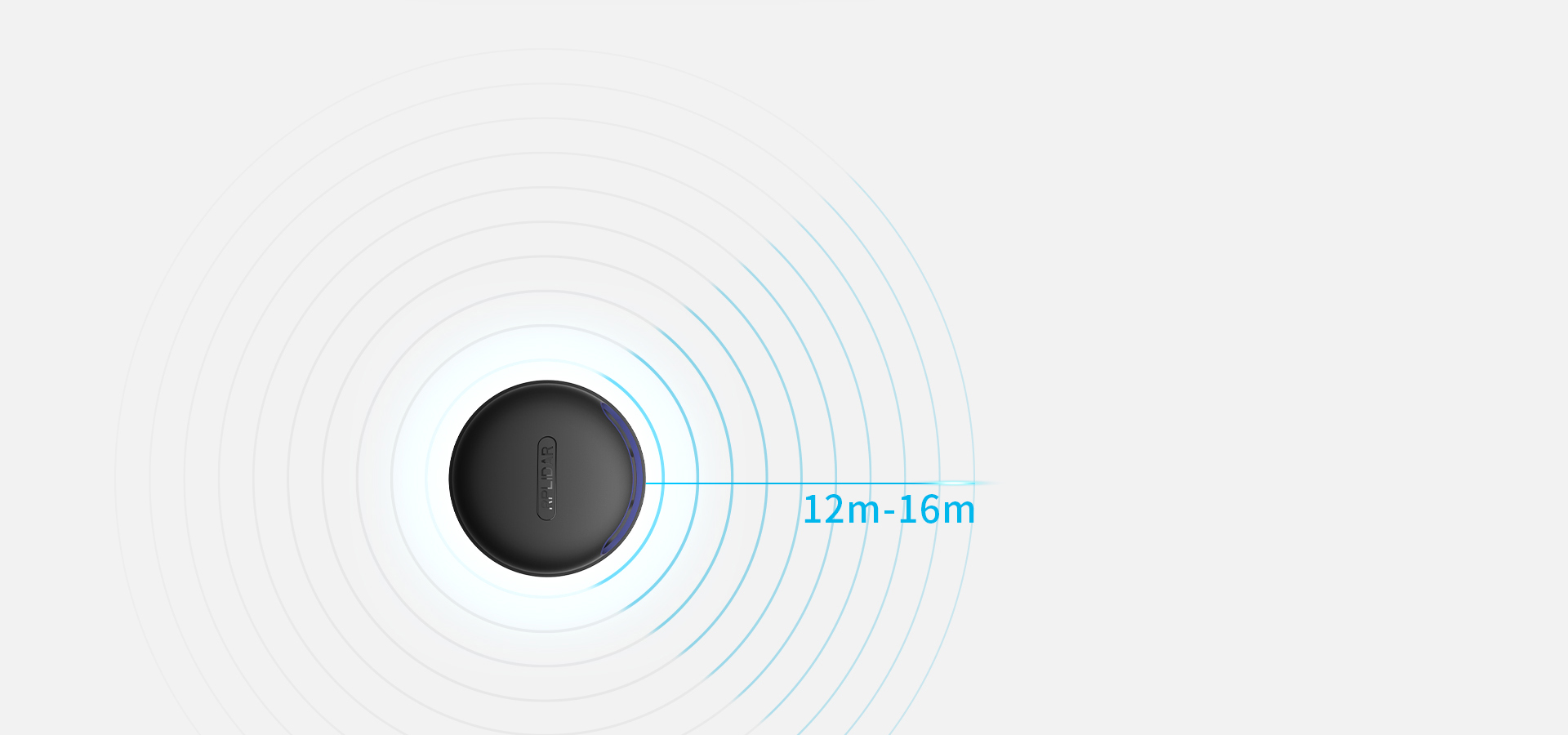
RPLIDAR A2M12 - (12m) 360 Degree Laser Range Scanne Triangular Ranging - lidar Mapper Rplidar Scanner Kit sensor measurement tool
SKU: SLDPRPLA2M12
RPLidar A2M12 -(12m) 360 Degree Laser Range Scanne Triangular Ranging - lidar Mapper Rplidar Scanner Kit sensor measurement tool
(1 Reviews)
$1,625.90
1/1
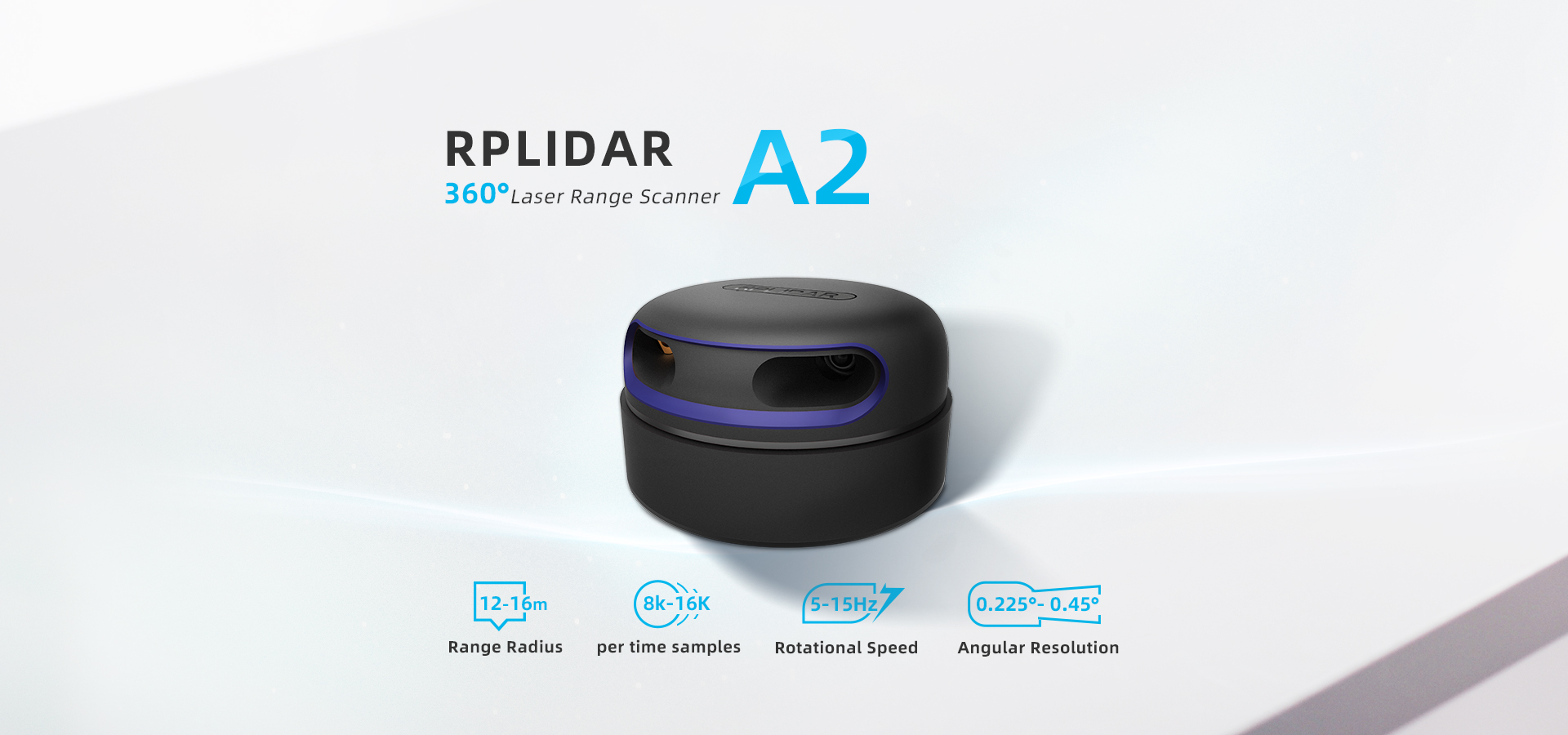
 4cm Ultra-thin
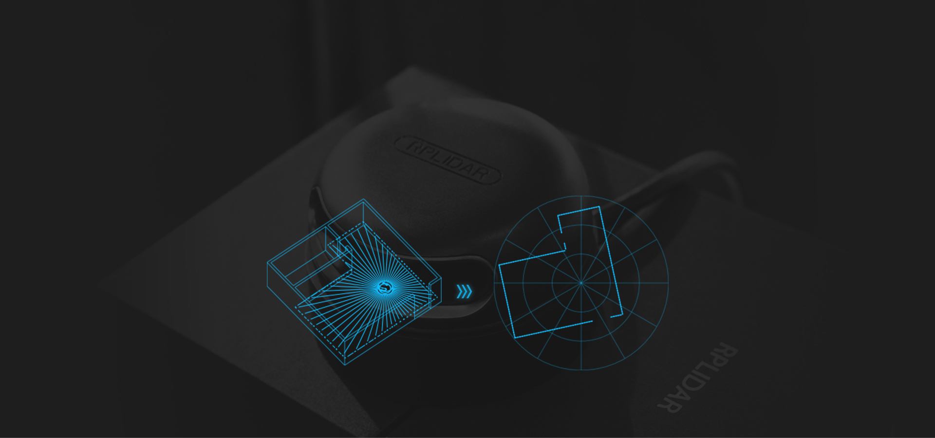
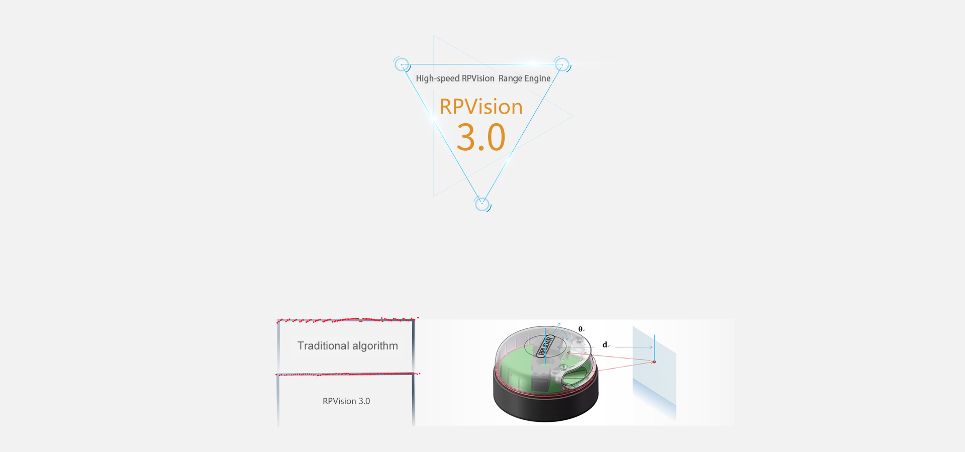
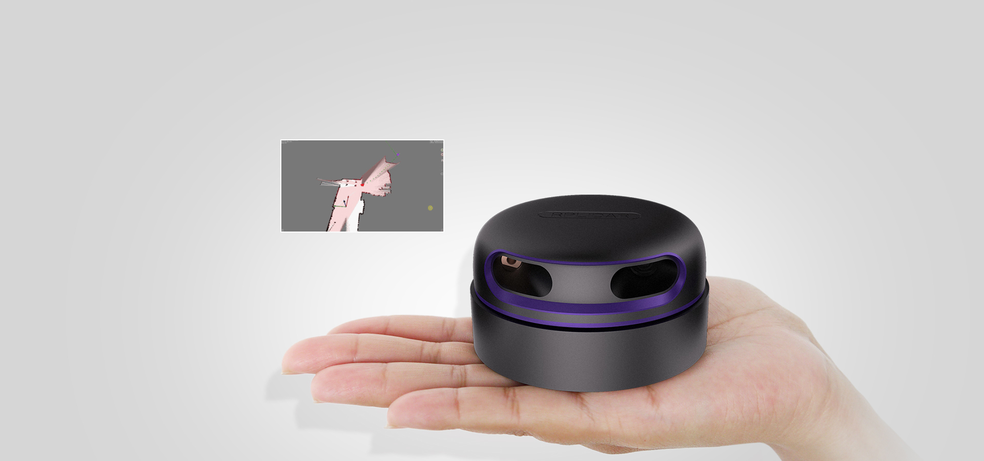 The sample rate of LIDAR directly decides whether the robot can map quickly and accurately.
 Low Noise, Brushless Motor New Non-contact Drive
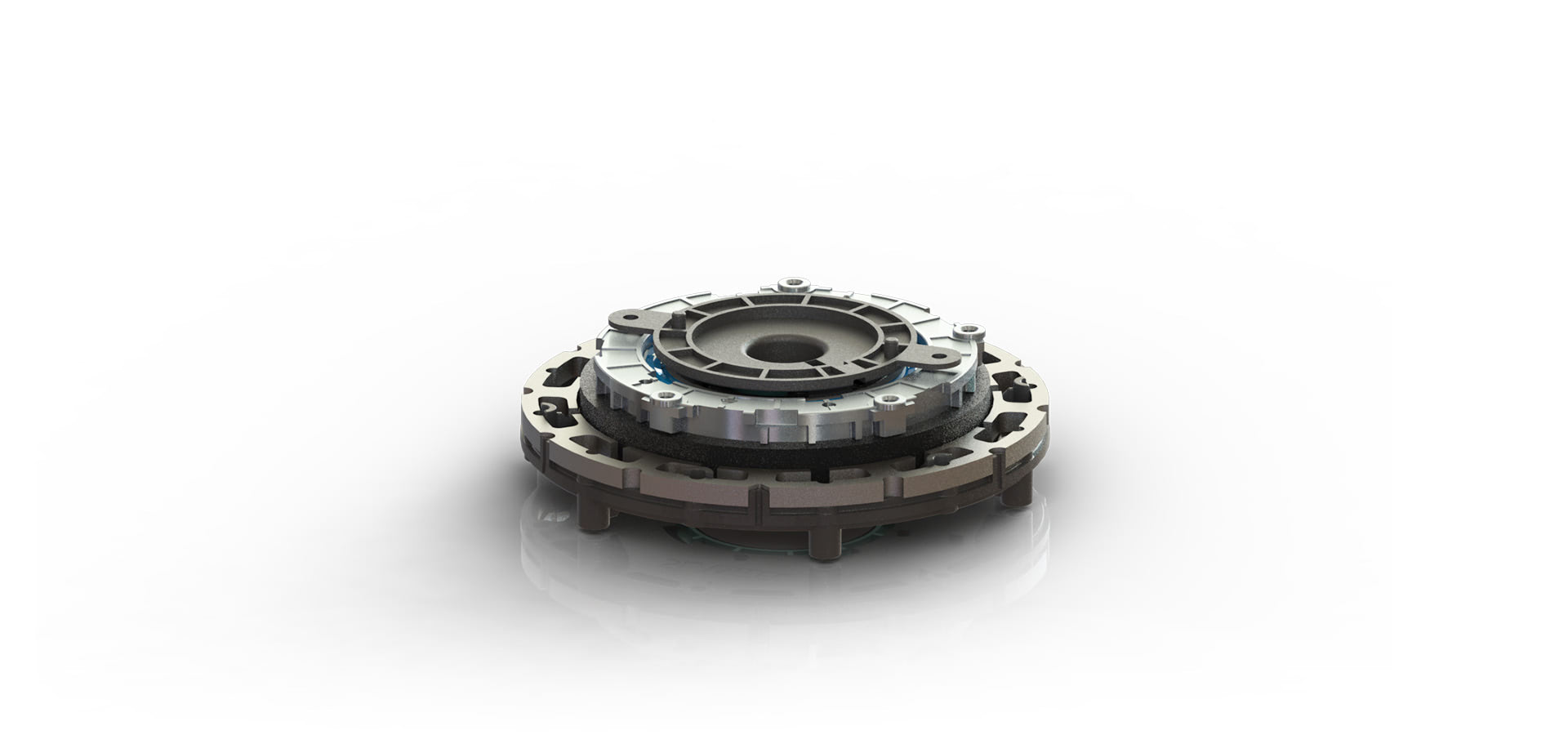
 OPTMAG Original Design
 The RPLIDAR A2 system adopts the low power infrared laser light as its light source, and drives it by using modulated pulse. The laser emits light in a very short time frame which can ensure its safety to human and pets. It has already reached Class 1 Safety Standard.
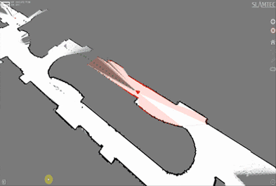
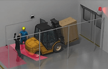
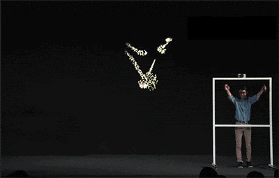
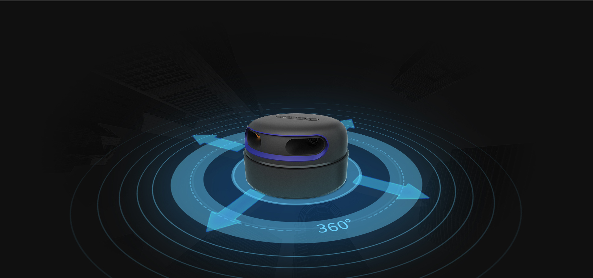
 The Secret for a Freely Walking Robot
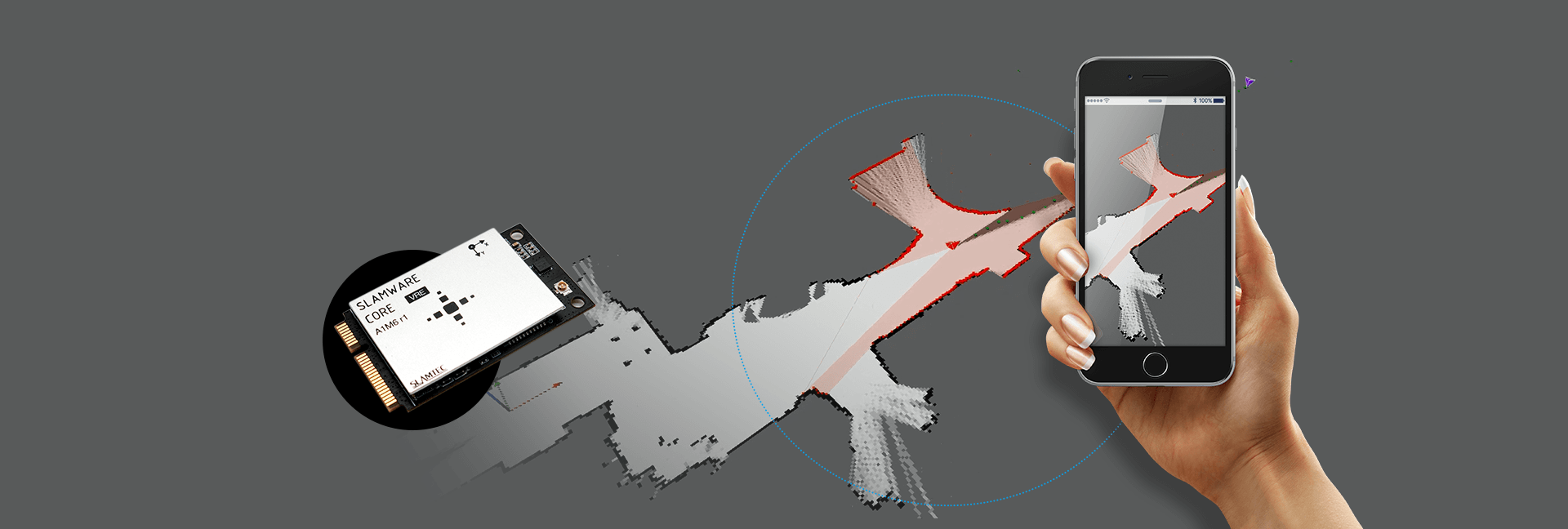 Multi-point Touch and Man-machine Interaction